Modelling large catchments is not for the fainthearted.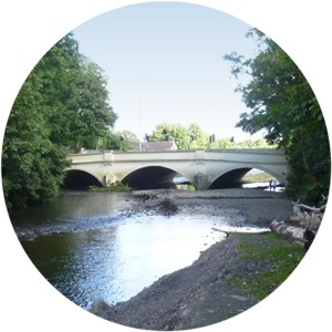
In particular, different storm events across the reaches of a catchment affect the volume of flood water differently.
For modelling to be effective, it must simultaneously model short peaky rainfall events and peaky flood response in the upper reaches of a catchment, and longer duration rainfall events and longer-lasting flood response in its lower reaches.
Critical-storm durations are not constant throughout large catchments.
Using one duration event for a whole catchment risks underestimating peak flow and risk in the upper reaches. Dividing a catchment into large sub-catchments risks ‘step’ changes in risk.
Failure to correctly assess peak river flows and flood volumes is risky.
- If we underestimate flows, we may underestimate flood extents and velocities, which may put lives at risk if people believe that they are outside a flood risk area.
- If we over-estimate peak river flows then we may incorrectly classify areas as at risk of flooding, to the detriment of local communities where areas perfectly safe to develop are deemed unsafe.
Correct peak river flow can only be modelled when different critical-storm durations are also being correctly modelled.
We need an innovative approach to ensure we capture correct peak river flow and volume of flood water, so that our design floods are as accurate as they can currently be.
WHS expertise has become innovation
Our expertise in hydrology has allowed us to develop a way to have complete control over the critical storm durations we use for large-scale catchment modelling.
We are able to iterate between hydraulic modelling results and hydrological analysis, to ensure that both the critical duration and correct volume of water is maintained throughout the study catchment.
Our method is greatly enhanced when there are a number of gauges throughout the river reach being modelled, especially one at the top and another at the bottom of the modelled reach.
We review the performance of the model at each gauge after every iteration of the model runs, and calibrate both the input hydrology and hydraulic model itself, so the model is modelling the correct peak flow.
The last word
We have successfully implemented our approach in a number of catchments in South Wales, including 40km of the River Ebbw.
We have ensured that the hydraulic catchment models maintain the correct critical-storm durations and correct peak flows, which have also been calibrated to ensure that the model is reproducing the correct peak flow at each gauge.